 orbitrace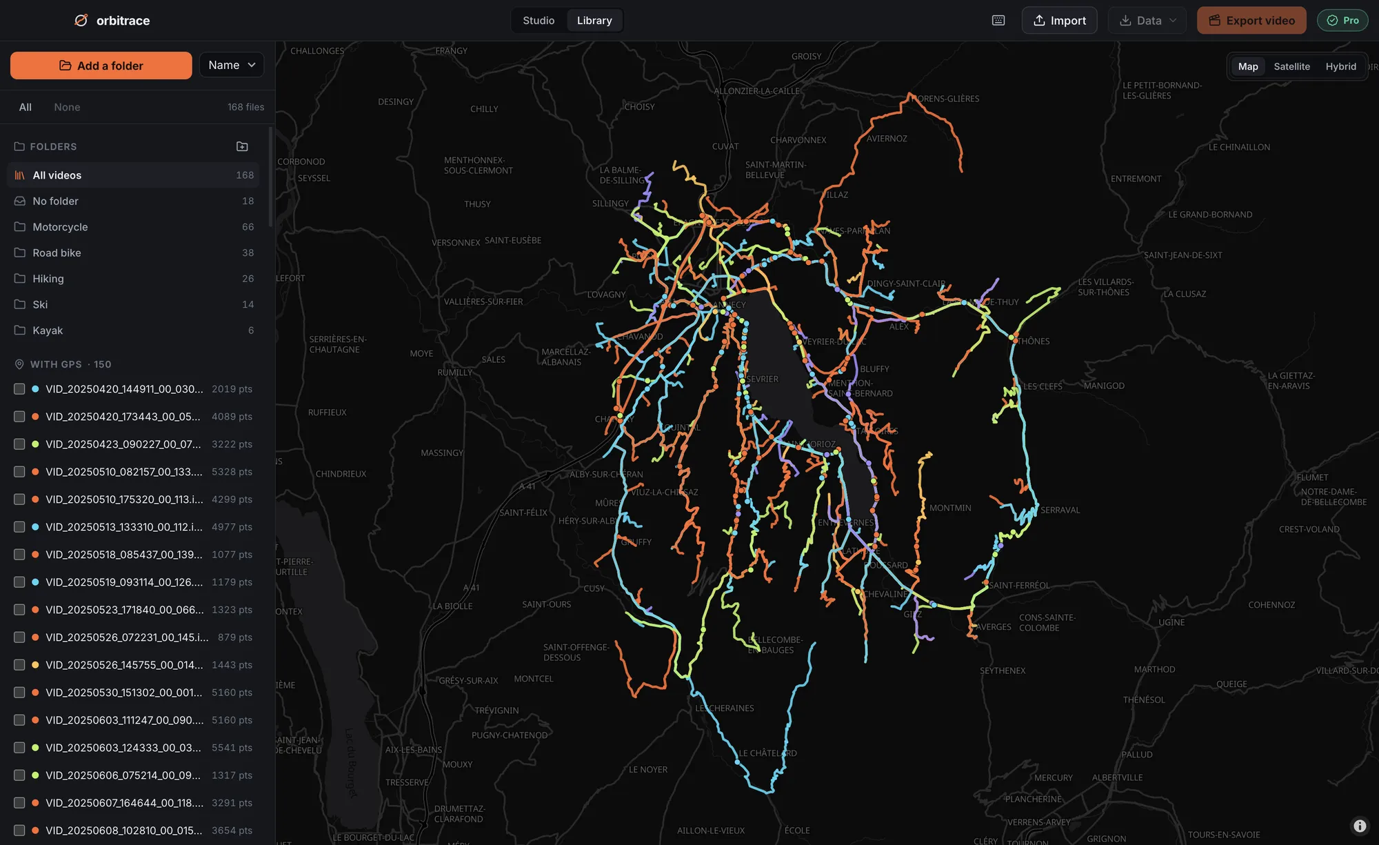
Two sources of GPS
| Phone (Insta360 app) | Insta360 GPS remote | |
|---|---|---|
| Cost | Free | Paid accessory |
| Setup | App open and connected while recording | Paired once, then autonomous |
| Main risk | App in the background → positions stop | Remote not paired or not compatible with your model |
| Best for | Walking, occasional use | Bike, motorcycle, skiing, long sessions |
Insta360 makes several remotes; not all of them have GPS, and compatibility depends on the camera. Check Insta360’s compatibility page for your exact model before buying.
Using your phone as the GPS
- In the Insta360 app, allow location access and enable GPS recording.
- Connect the camera to the app before you start recording.
- Start recording and leave the app in the foreground. Use its screen lock so a pocket tap does not close it.
- Avoid battery-saving modes that freeze apps in the background.
These tips come from Mapillary’s Insta360 guide: their contributors map entire streets with these cameras and noticed that leaving the app is the first cause of inaccurate GPS.
Timelapse and GPS do not mix well
In timelapse or variable-speed modes, Insta360 itself warns that the GPS cannot be matched precisely to each image. If the track matters, film in normal video mode. In interval photo mode, Mapillary also observed that the GPS is sometimes written only on the first picture.
The track is missing or patchy: what now?
- Check the file: open it in Orbitrace. If no track appears, the .insv simply contains no position.
- A watch or a phone app recorded the ride? Export a GPX and attach it to the video: Orbitrace aligns it on the time and lets you fine-tune the sync by the second or by the frame.
- Nothing at all? The motion sensors are always recorded: G-force, horizon and jump detection still work.
Using the GPS afterwards
Insta360 Studio offers a few GPS dashboards. Orbitrace goes further with a real street or satellite map that turns with your heading, lean angle, G-force, highlights found automatically, and a library that draws every ride on one map. See what Orbitrace does with Insta360 files.