 orbitrace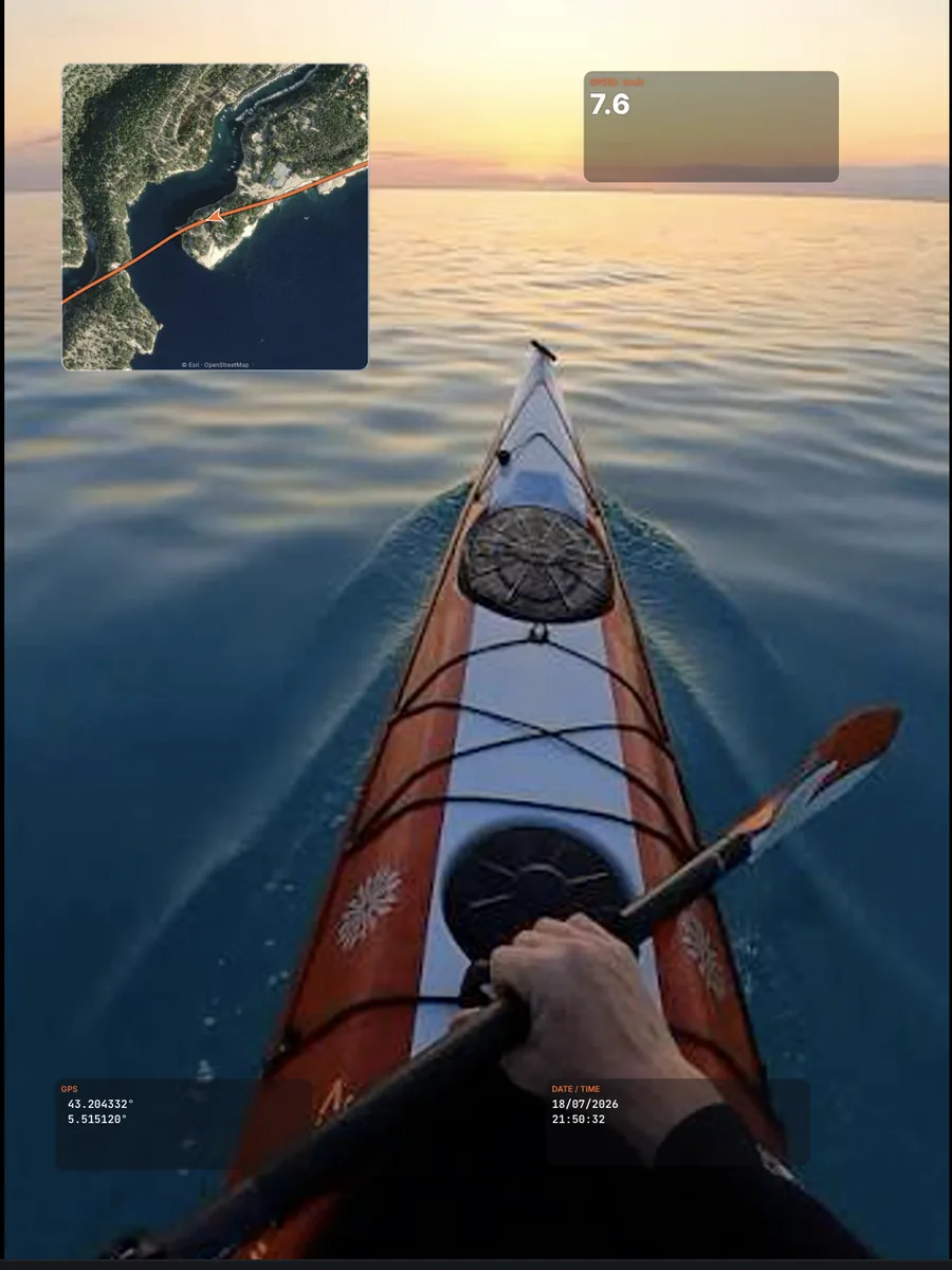
Where to get a GPX file
- Garmin, Suunto, Coros, Polar watches and bike computers: export the activity as GPX from their app or website;
- Strava: “Export GPX” on any of your activities;
- Apple Watch or phone: record with an app that exports GPX (Strava, Komoot…);
- Any GPS logger that writes standard GPX.
How Orbitrace syncs the GPX with your video
- Open your video, then attach the GPX recorded at the same time.
- Orbitrace aligns the track on the recording time of the video.
- If your camera clock was off, nudge the sync at export: by the second, by a tenth, or frame by frame, while watching the preview.
Tip: film something easy to spot — the start of a run, a sharp turn — to check the sync in two seconds.
What you get
- Speed, altitude, grade and distance gauges;
- A street or satellite map following your position;
- Lean angle computed from the GPS on a motorcycle, whatever the camera mount;
- Exports of your data as GPX, CSV, KML or GeoJSON.