 orbitrace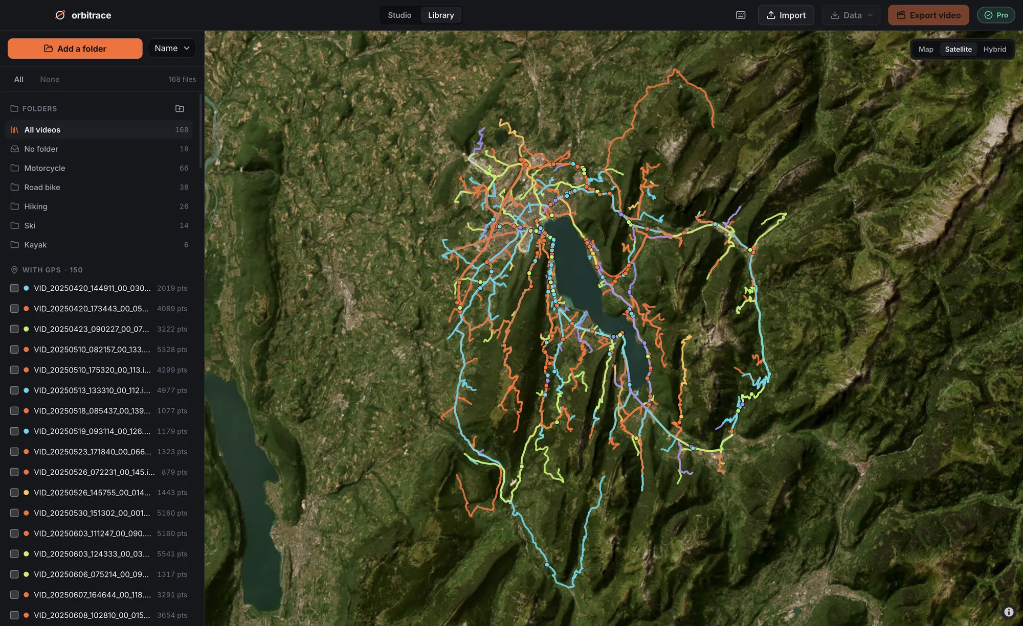
Three ways a video gets GPS
- Built-in GPS: the camera has its own chip and writes the position into the video file (GoPro HERO13, GoPro MAX…).
- Borrowed GPS: the camera takes the position from your phone or from a remote that has a GPS chip (Insta360 X series, DJI Osmo cameras).
- Separate track: another device records a GPX file — watch, bike computer, phone app — that you sync with the video afterwards.
The first is the most convenient. The third works with absolutely any camera.
Action cameras
| Camera | GPS | Where it’s stored |
|---|---|---|
| GoPro HERO5 Black → HERO11 Black | Built in | Inside the MP4 (GPMF track) |
| GoPro HERO12 Black | None | — |
| GoPro HERO13 Black | Built in | Inside the MP4 (GPMF track) |
| DJI Osmo Action series | Through a DJI GPS remote, depending on the model | Depends on the model |
| Sony FDR-X3000 | Built in | Separate log files |
The GoPro case is the classic trap: GPS has been there since the HERO5 Black, disappeared on the HERO12 Black, and came back on the HERO13 Black. Before buying second-hand, check the exact model.
360° cameras
| Camera | GPS | Where it’s stored |
|---|---|---|
| Insta360 X3, X4, X5 | From the phone (Insta360 app) or a GPS remote | Inside the .insv file |
| GoPro MAX, MAX 2 | Built in | Inside the .360 file |
| DJI Osmo 360 | Through the DJI remote | Inside the .osv file |
| Ricoh Theta X | Built in | In the image/video metadata |
If you use an Insta360 with your phone as the GPS source, keep the Insta360 app open and in the foreground while recording: if the phone goes to another app, positions may stop. Mapillary, which collects street-level 360° imagery, recommends the GoPro MAX precisely because its GPS is built in.
Drones
All DJI drones have GPS — they need it to fly. To get it alongside your video, enable video captions in the camera settings of DJI Fly: the drone then writes a .SRT file next to each video, with position and altitude over time. Without that option, the video carries no usable track.
Watches and bike computers
Garmin, Suunto, Coros, Polar, Wahoo, Apple Watch: every GPS sports watch or bike computer records your route. Export the activity as GPX (from the brand’s app, or from Strava) and sync it with your video. It is the most reliable solution if your camera has no GPS, and often the most accurate, because these devices are designed for it.
Phones
Your phone has GPS, but a phone video usually stores only one position — where the recording started — not a track. To get a real track, record with an app that exports GPX (Strava, Komoot…) while you film.
Dashcams
Many dashcams have built-in GPS (BlackVue, Viofo, Nextbase, Vantrue…), but each brand stores it in its own format, sometimes encrypted. Their own player usually shows speed and position.
How to check if your video contains GPS
- GoPro: the GPS icon on the camera screen while filming; afterwards, open the file in a telemetry tool.
- Insta360: Insta360 Studio shows GPS dashboards only if the .insv contains a position.
- DJI drone: look for a .SRT file with the same name next to the MP4.
- Any file: drop it into Orbitrace — if there is a track, it appears on the map immediately.
What can you do with this data?
Put your speed on screen, show the route on a map, measure a motorcycle’s lean angle or a ski jump’s airtime, or just keep a map of all your rides. Orbitrace reads GoPro, Insta360, DJI drone files and GPX tracks, and burns the data into your video.